


Drag to compare. Model views, not photographs of finished prints.
Ship to
Looks like you are in . Show prices in ?
You choose the place. We build it in 3D, refine it, print it and frame it in our studio in Canada.


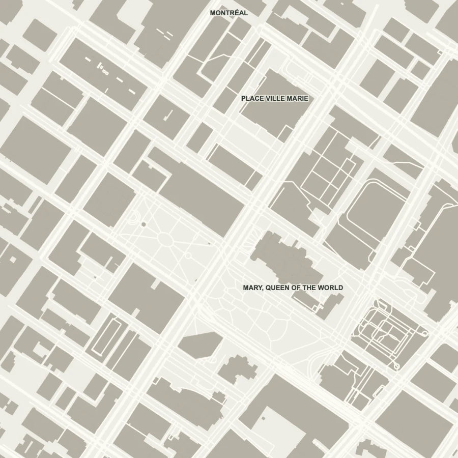

Satellite: Esri, Vantor, Earthstar Geographics & the GIS User Community · Map: © OpenStreetMap contributors
Any address on Earth.
Streets and buildings from open map data.
Before you order.
After you order, paid 3D reference data adds what open maps leave out: roof shapes, stepped towers, rooftop volumes. Included in every order.
Drag to compare. Model views, not photographs of finished prints.
Our team looks over every model before it prints.
In our studio in Canada.
Within 4 business days for a 6×6″, 7 for a 12×12″. Free across Canada and the U.S.